Tracking & Satellite Studying From a Distance


Tracking & Satellite Objectives
- Provide benefits and examples of tracking technologies used to study organisms.
- Explain what an ecoregion is and how it may sometimes be more beneficial to study ecoregions than larger ecosystems.
- Describe characteristics and organisms of the Sahara, Syrian, and North American deserts.
Technology is critical in impacting all aspects of the science process including observations, data collection, data processing, and communicating results.

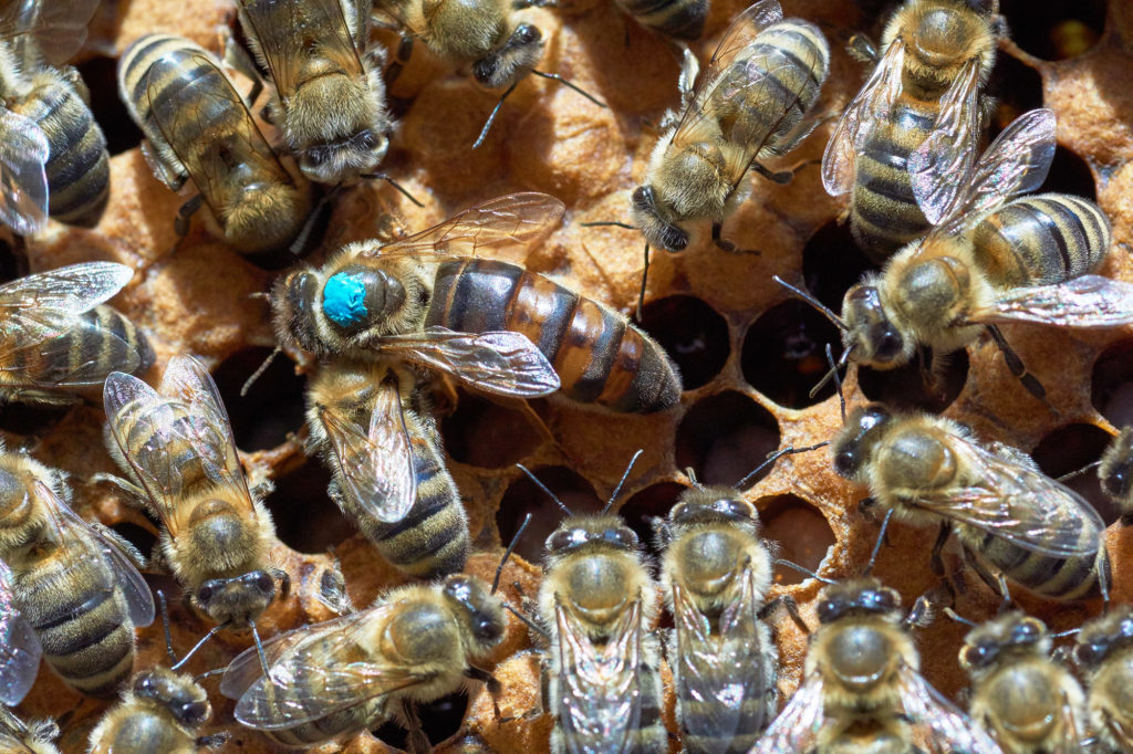
Animal tagging has been carried out for centuries with paints, tattoos, and collars. Tagging primarily identifies a study animal, it does not necessarily give an indicator of where it has been or what it was doing.
A worker bee has been marked with paint to identify her in a group of bees.
Radio collars have been used extensively as an effective and relatively inexpensive way to collect data on animal movements.
Here a mountain goat is being tracked in Glacier National Park to provide data on where its herd is traveling in the park.
Tracking has been critical in monitoring endangered species, where the loss of even a few reproductive individuals can lead to the extinction of the species.
This cheetah has been outfitted with a tracking collar. If the collar stops moving for an extended time, it can indicate that the animal is injured and needs care, or if dead, may have offspring that need care.
Advances in tracking technology have made it possible to study possible causes of species declines.
There are tracking applications closer to home.
Our cats wear trackers on their harnesses in case they get off their leashes and move out of sight.
Tracking devices are now relatively inexpensive and much more readily used in research and home applications.
With the improvement of video capabilities and rapid communication on smartphones, more people are collecting data outside of the traditional science community. Citizen science projects mass data submitted by large number of people as a form of tracking of migrating butterflies, bluebirds, and more.
Photographs and video submitted by citizen scientists are critical in habitat restoration to demonstrate that animals are using nest boxes and food sources. Tracking is becoming possible on a larger and more impactful scale.
Satellite and Ecoregions
Since the late 1970s, satellite photography has changed the way we view Earth’s ecosystems.
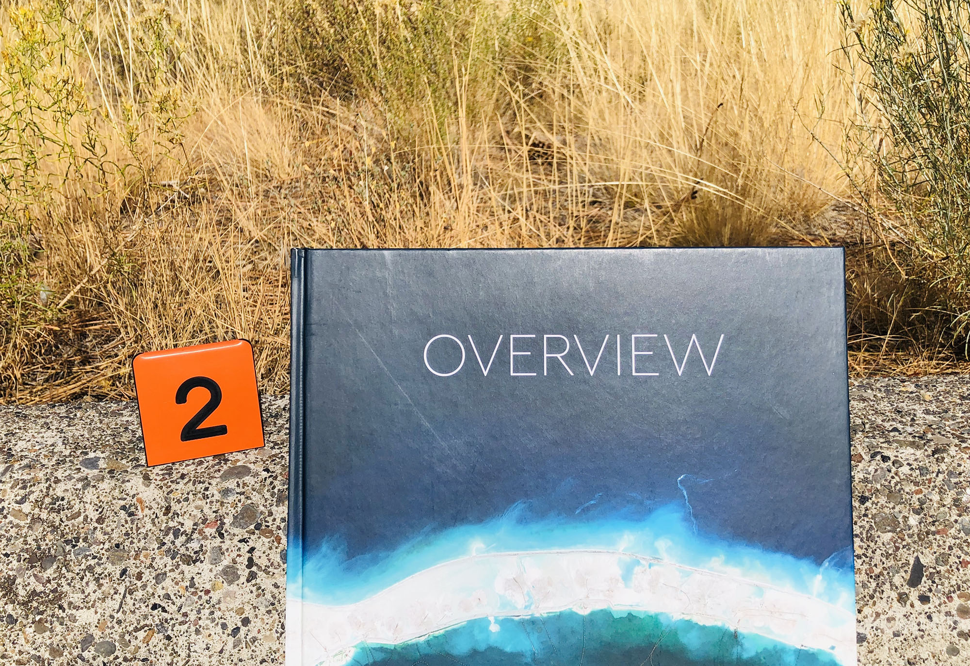
This video is a quick flip through a photo book highlighting human impacts on ecosystems. The photos are stunning and memorable.
Satellite images can be used to study changing ecosystems. This includes “desertification;” changing climates shifting grasslands into deserts.
Satellite images have improved to the point that we can observe subtle differences in ecosystems. This has made it possible to map and study ecoregions, more specific climates and communities within larger ecosystems.
This video shows how Oregon can be divided into different ecoregions.
Desert ecosystems can be complex with different ecoregions and species.
Example Deserts
The Sahara Desert has different ecoregions and climates that impact biodiversity distribution.
The Sahara Desert also has different sands due to different rock formations eroding over time. Subtle changes in soil nutrients can impact biodiversity, particularly plants.
This video provides real-world examples of different deserts and organisms.
North America has four major deserts that are primarily semi-arid. The further north ___ ___ desert is the coldest; the furthest west Mojave Desert has precipitation in the ____ season (like the Willamette valley); and the furthest east Chihuahuan Desert has ____ precipitation. The Sonoroan Desert in-between has small amounts of precipitation in both summer and winter.
Wildfires can impact deserts, especially semi-arid deserts with more vegetation that can burn.
One of the best-known animals from the Sonoran Desert is Asbolus verrucosus the feigning death beetle.
This feigning death beetle shows how it is done.
The next section introduces microscopy; using microscopes to study hidden worlds.

Check your knowledge. Can you:
- provide benefits and examples of tracking technologies used to study organisms?
- explain what an ecoregion is and how it may sometimes be more beneficial to study ecoregions than larger ecosystems?
- describe characteristics and organisms of the Sahara, Syrian, and North American deserts?


